Segregated cycle and pedestrian path: road signs in Tashkent

Segregated cycle and pedestrian path: road signs in Tashkent — 2 photos with addresses and landmarks

2 photos · all “Road signs”

Road signs “Segregated cycle and pedestrian path” on the map

All 2 with a geotag. Click a point for the photo and description.

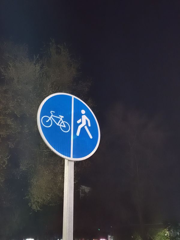
Round blue “Pedestrian and bicycle path” sign with separation: bicycle on the left, pedestrian on the right, on a metal post, night

Round blue “Pedestrian and bicycle path” sign with separation: bicycle on the left, pedestrian on the right, on a metal post, night

Segregated cycle and pedestrian path
Segregated cycle and pedestrian path: Mounting: on its own post
41.350985, 69.35195841°21'03.5"N 69°21'07.0"E
on the map: OSM · Esri · CARTO · Google Maps · Yandex Maps · altitude 429 m
2026-11-18 21:00 · photo page
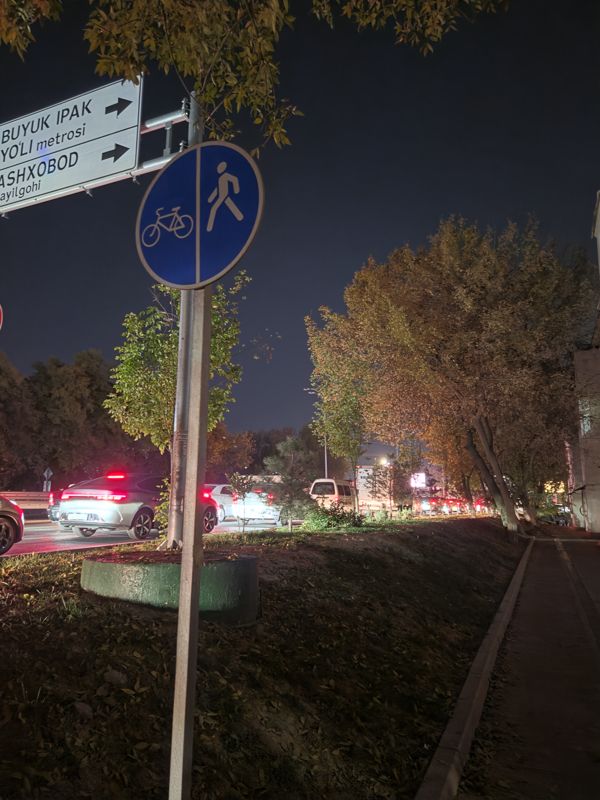
At night, on a shared post, a round sign “Pedestrian and bicycle path with separation” (bicycle on the left, pedestrian on the right) and a direction sign with arrows pointing right above it

At night, on a shared post, a round sign “Pedestrian and bicycle path with separation” (bicycle on the left, pedestrian on the right) and a direction sign with arrows pointing right above it

Direction signSegregated cycle and pedestrian path
Direction sign: Text: Buyuk Ipak Yo'li metrosi; Ashxobod ...ayilgohi (cut off by the frame) · Mounting: on a bracket of the same post
Segregated cycle and pedestrian path: Mounting: on its own post
41.351721, 69.35060441°21'06.2"N 69°21'02.2"E
on the map: OSM · Esri · CARTO · Google Maps · Yandex Maps · altitude 471 m
2026-10-30 18:14 · photo page
↑